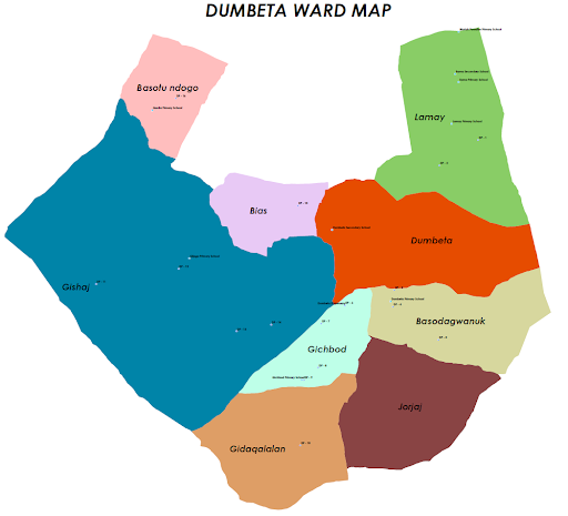
Dumbeta Ward Overview
Geography and Topography
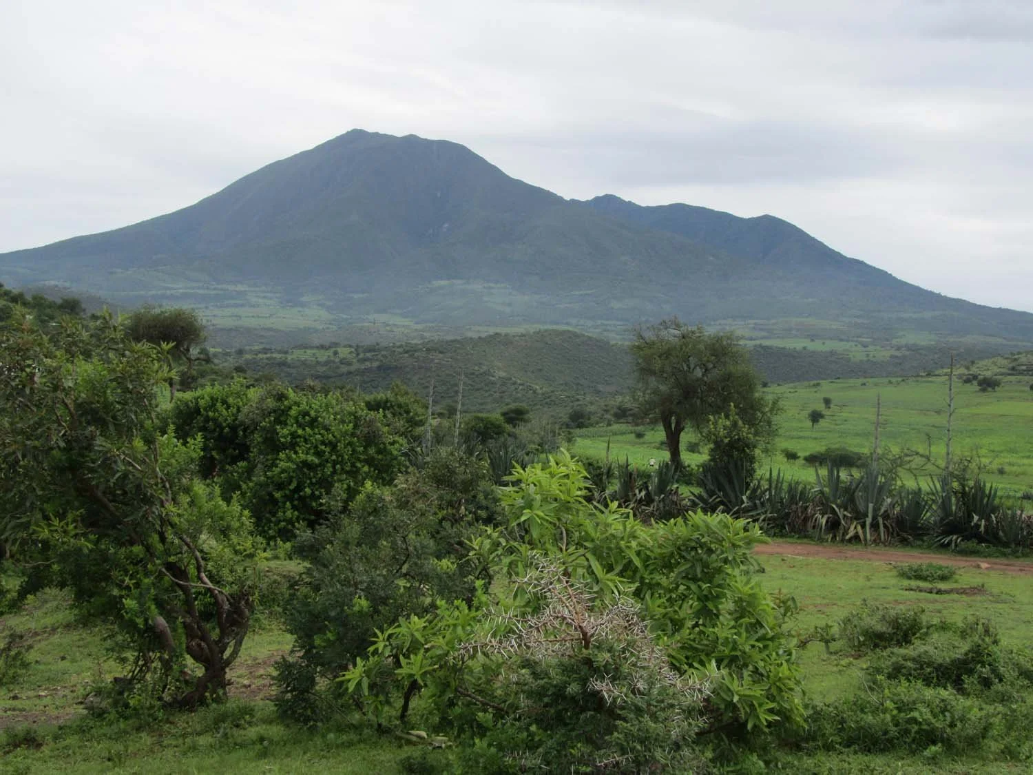
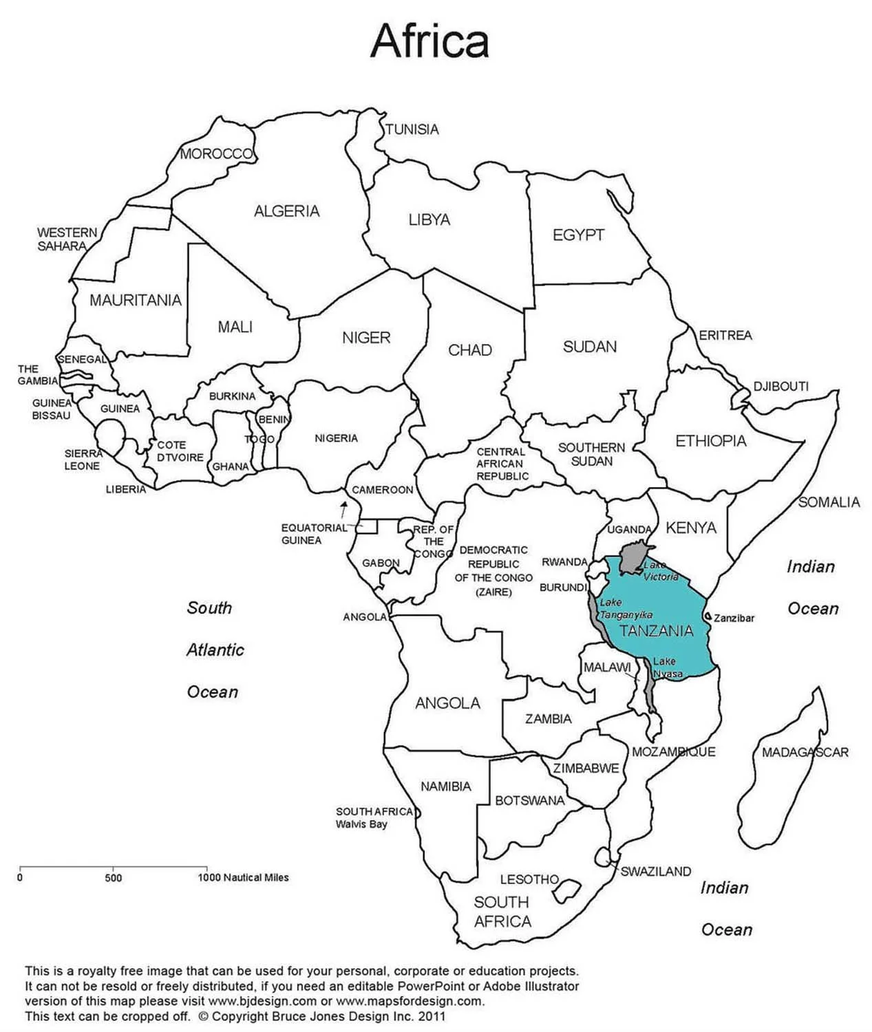
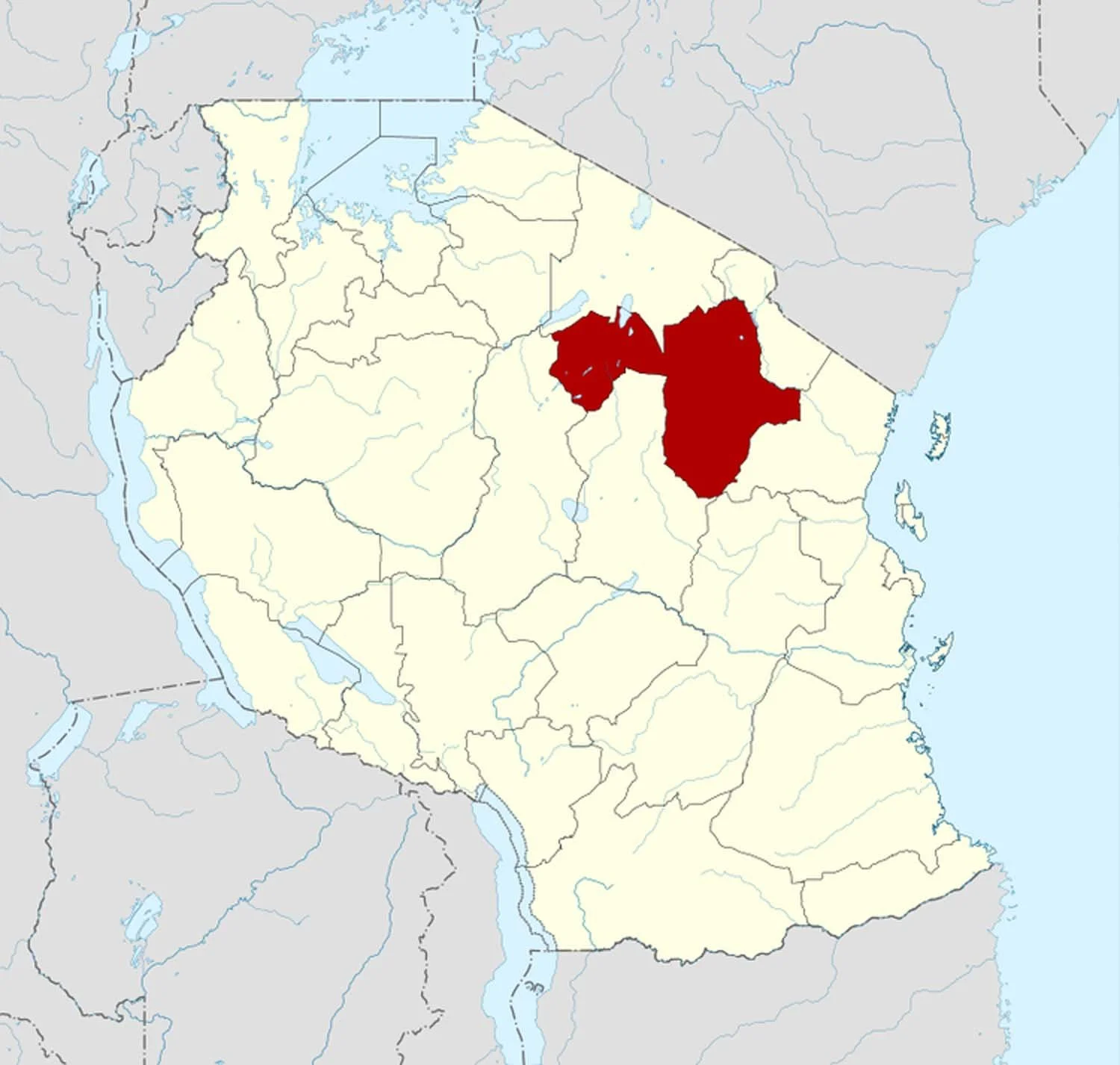
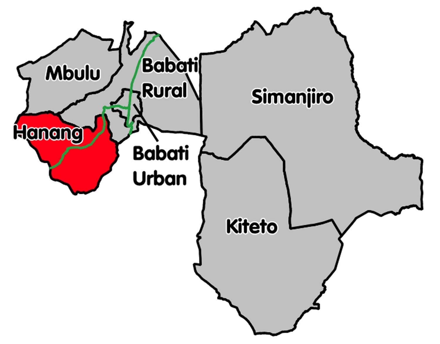
Dumbeta Ward is located in the Hanang District of Manyara Region in north-central Tanzania, approximately 300 miles south of the equator. It lies roughly eight miles south of Mount Hanang, one of Tanzania’s highest peaks, at about 3,420 m (≈11,200 ft) above sea level. The Ward covers an area of approximately 28 square miles and sits on a semi-arid, high-desert plateau with gently rolling terrain, with an average elevation around 6,000 ft above sea level. The distance across the Ward is approximately 7 miles.
The nearby town of Katesh serves as the district’s commercial and administrative center. Local government offices and the district hospital are located there. A major road connects Katesh to the cities of Babati, Dodoma, and Arusha, providing the Ward’s primary link to regional markets and services.
Climate
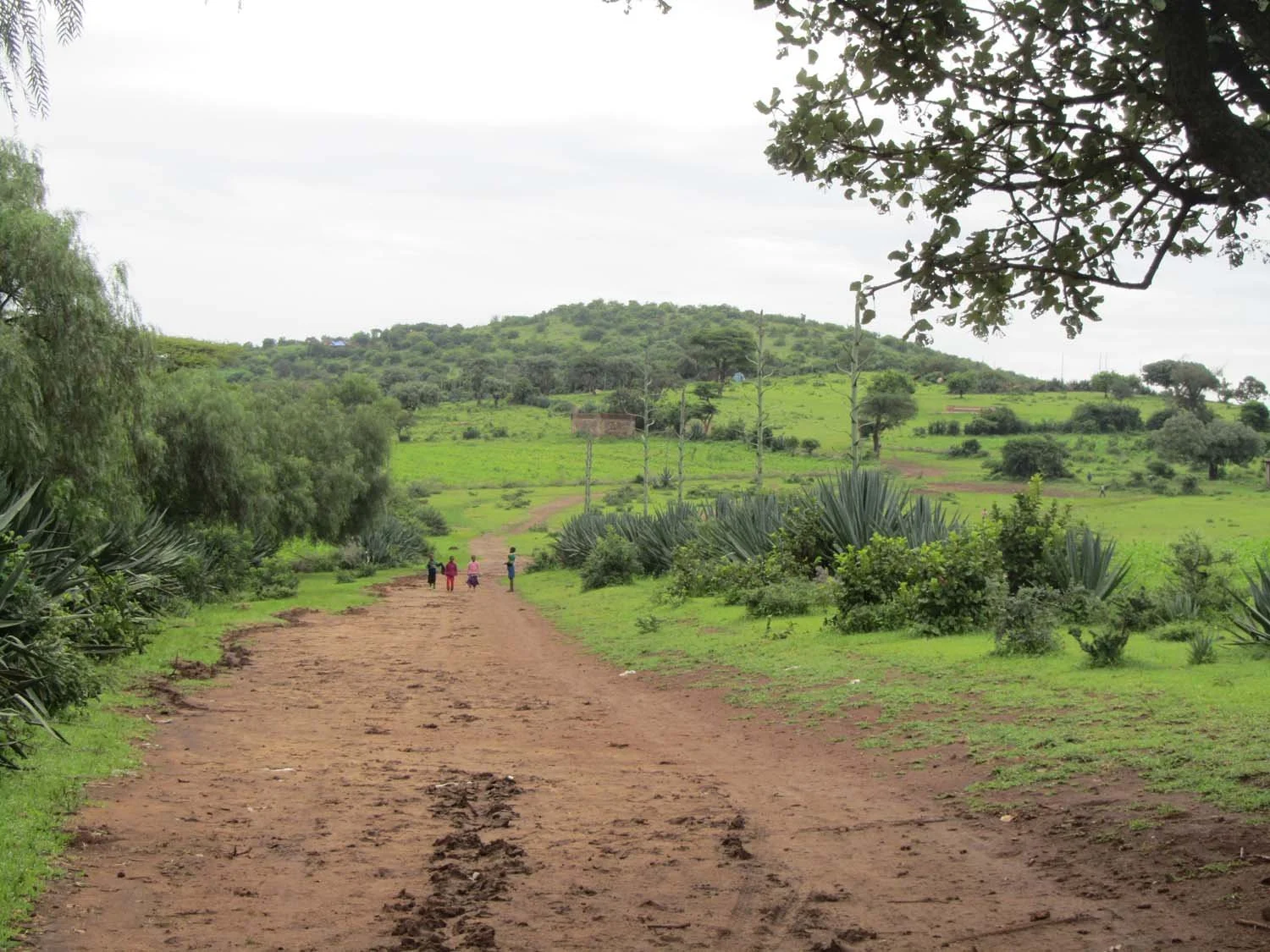
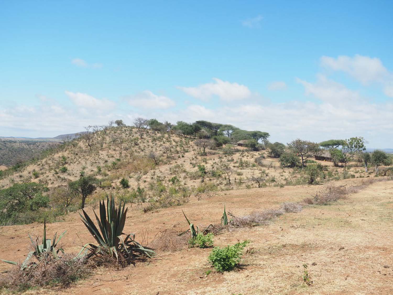
Dumbeta Ward has a semi-arid highland climate. Because of its elevation, temperatures are generally mild despite its proximity to the equator. There is a dry season from May through October and a rainy season from November to April. Average annual rainfall is 20-28 inches. Rains have become increasingly unpredictable, with both droughts and flooding becoming more common. During the dry season the landscape is dusty and brown. During the rainy season the landscape turns green and lush.
Water
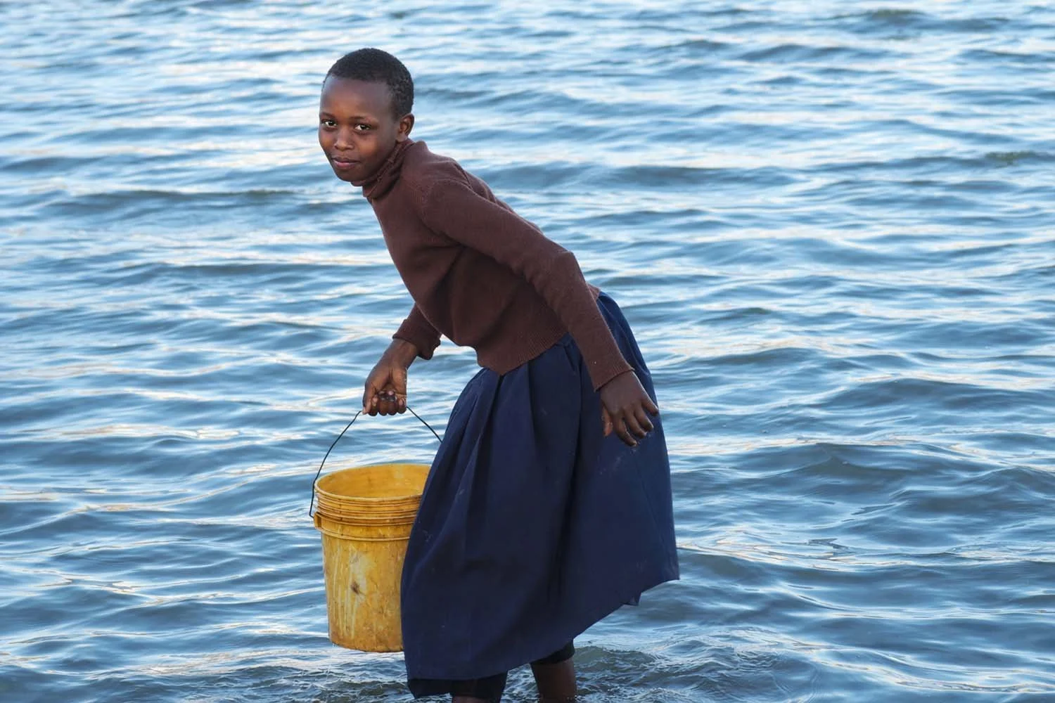
Access to reliable, clean water for drinking, cooking, sanitation and irrigation is a major challenge for residents of Dumbeta Ward. Water is obtained from three primary sources.
Much of the Ward’s water comes from runoff from Mount Hanang. A public water utility treats this water and distributes it to water distribution points scattered throughout the Ward. This water is rationed and is often unavailable during the dry season. For many families, the nearest water point is a long distance from home.
A deep borehole (well) supplies water to a small portion of the Ward. Borehole water is of higher quality, with less bacterial contamination than water from Mount Hanang. This water is metered, and users pay a monthly fee. The Rafiki Village Project’s first infrastructure project was the construction of a pipeline that brought clean borehole water to Gijega Primary School for the first time.
When neither of these sources is available, residents rely on Lake Basodagwaruk, a small, freestanding body of water located in the southeastern corner of the Ward. The lake is highly contaminated and distant from much of the population. During the rainy season, additional temporary standing water sources may appear, but these are also unsafe for consumption.
Roads
There are no paved roads in Dumbeta Ward. The Ward’s unpaved roads are often impassable to vehicles due to deep ruts caused by periodic flooding. Transportation is primarily by foot, motorcycle, or ox cart.
During the rainy season, access to the schools and the dispensary is often not possible due to the poor condition of the roads.